
- About Us
-
Our services
Inspection
-
Higher Offices
Division / District
Ministry / Department
- E-Service
- Gallery
-
Contact
Office Contact
- Opinion & Suggestion
- About Us
-
Our services
Inspection
-
Higher Offices
Division / District
Ministry / Department
- E-Service
-
Gallery
Photo Gallery
Video Gallery
-
Contact
Office Contact
Communication Map
-
Opinion & Suggestion
opinion and feedback
Background and nomenclature of Sujanagar upazila
Sujanagar Upazila belongs to Pabna district. Located on the floodplain plains carried by the Padma river, this place is very rich and has many history and heritage. Sujangor's original name is Gobindaganj. During the end of the reign of Mughal Emperor Shahjahan, in the continuation of the dispute over the occupation of the throne of his sons, Yuvraj Shah Shuja fled to Arakan. He went to Arakan for three nights in Sujanagar. Sujangor named people of this region as the name of the people of this region, to keep this condition of eternal crown of King Shuja.
Geography of Sujanagar
Relative Location: Masumdia Union of Bera upazila on the east, Charatarpur union of Pabna Sadar upazila on the west, Khetupara of Santhia upazila on the north and Ataikula union on the north, Padma river in the south.
Absolute Location: Sujanagar Upazila is located in 23048' north latitude 24000' north latitude and 89023' east longitude from 89039' east longitude.

Overview of office activities
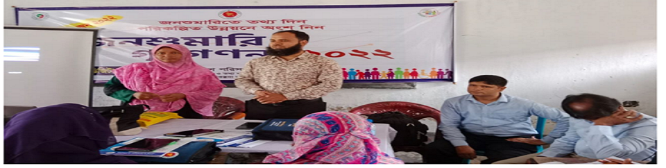
Under the Census Wing, the work of Adam Census and Home Counting, Agricultural Census, Non-Agricultural Economic Census, and Census Census were held. For cutting of crop of 6 crops (ie Aus, aman, boro, wheat, potato and jute) under the Agriculture Wing, and for the Chief and Minimum of 118 crops, interviewing the peasants, scrutiny monitoring, the size of the crop, the yield per acre And the production is calculated. Surveys of major crops, surveys, prices and production costs survey, monthly agricultural wage rates surveyed. Various surveys are carried out on sample area based birth, death, marriage, divorce, arrivals, exit, birth control, disability information collection, nutrition survey, mother and children. Various survey work of National Accounting Wing and Industry and Labor Wing was completed.


Planning and Implementation: Cabinet Division, A2I, BCC, DoICT and BASIS
Technical Assistance:
![]()
Developed By: